
April 26 @ 2:45 pm – 3:45 pm EDT
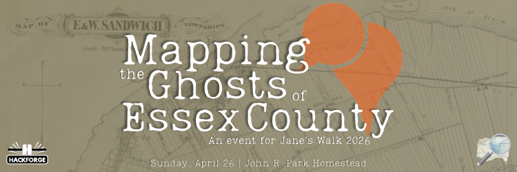
📍 John R. Park Homestead’s Visitor Centre (915 County Rd 50 E, Essex)
👥 In Person Only
💲 Free
Join us for a “Jane’s Talk” that bridges the gap between archival paper maps and the digital age.
In this introductory-level session, we’ll be looking at OpenHistoricalMap (OHM) – an Openstreetmap branch that focuses on mapping the history of the world’s settlements, roadways, and infrastructure. See how we’re turning scans and photographs of century-old, hand drawn maps into interactive digital data, and find out how to connect with us to share your own knowledge.
Part history lesson and part tech seminar, this event shows how archival records are being used to build a “Google Maps” for our region’s past—revealing how early land grants and original surveys still dictate the roads we drive today.
This session is presented in partnership with the Windsor-Essex Jane’s Walk Festival, an annual celebration of neighbourhoods through volunteer-led walking tours and events. Visit their website for more information about this amazing annual event, including this year’s complete schedule.
📆 April 26
🕦 2:45 – 3:45 PM
📍John R. Park Homestead’s Visitor Centre (915 County Rd 50 E, Essex)
✅ Reserve your spot through the Jane’s Walk website!