
- This event has passed.
June 23 @ 6:30 pm – 8:30 pm EDT
📍 Ford City (Meet at Whelpton Park – 2771 Whelpton St)
👥 In Person Only
💲 Free
With the return of warm weather comes the return of everyone’s favourite OSM activity – Field Mapping!
Come with us as we wander along the streets of Ford City tagging benches, trees, potholes, and more. These interactive outdoor sessions are beginner-friendly and help to improve the data that runs apps like Strava, Pokemon Go!, and Apple Maps.
Requirements for participation:
- A mobile device with a data plan
- A free OpenStreetMap account
- The StreetComplete or Every Door app
- Whatever the weather dictates you need for comfort (hat, sunglasses, waterbottle, etc.)
Meet at Whelpton Park (corner of Drouillard and Whelpton) for introductions and demos, then explore the neighbourhood with friends old and new!
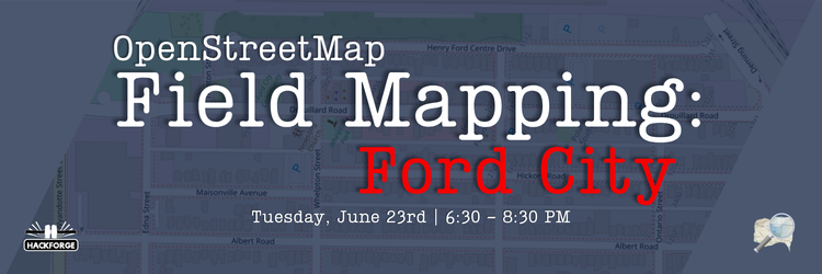
📆 Tuesday, June 23, 2026
🕦 6:30 – 8:30 PM
📍Ford City (Meet at Whelpton Park – 2771 Whelpton St)
Want to prep early? Start with these steps:
- create an account at osm.org
- download StreetComplete (GoogleStreetComplete – Apps on Google Play) (android-only)
AND/OR - download Every Door (Every-doorEvery Door) (android and iOS)
- log in to your chosen app using your OSM account